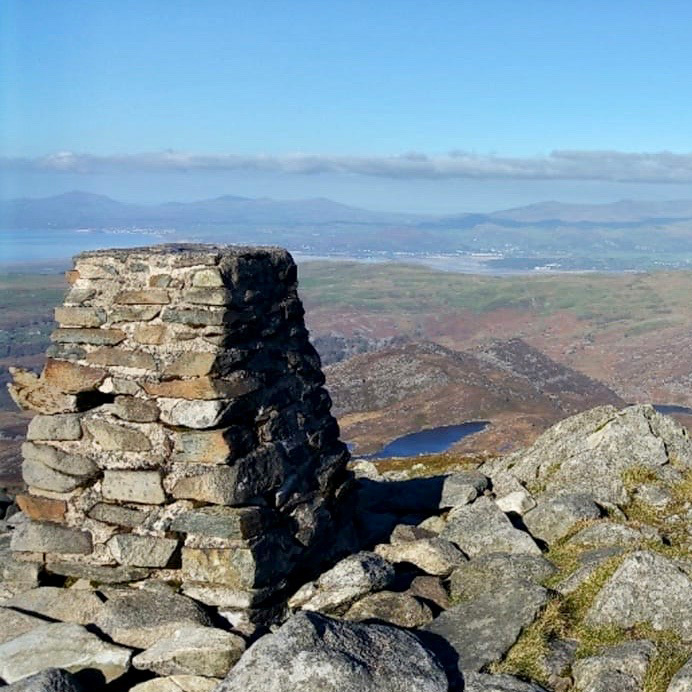
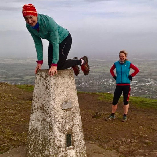
When you’re out on the hills and mountains, spotting a Trig point appearing through the mist or darkness is always a welcome sight. It means you have reached your summit for the day or perhaps a significant point as part of a longer day. You may give it a little tap or even a hug to say ‘thanks for being there’. You’re always happy to see them.
Have you ever thought why and how they were built in the first place?
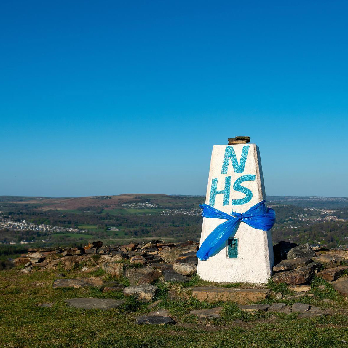
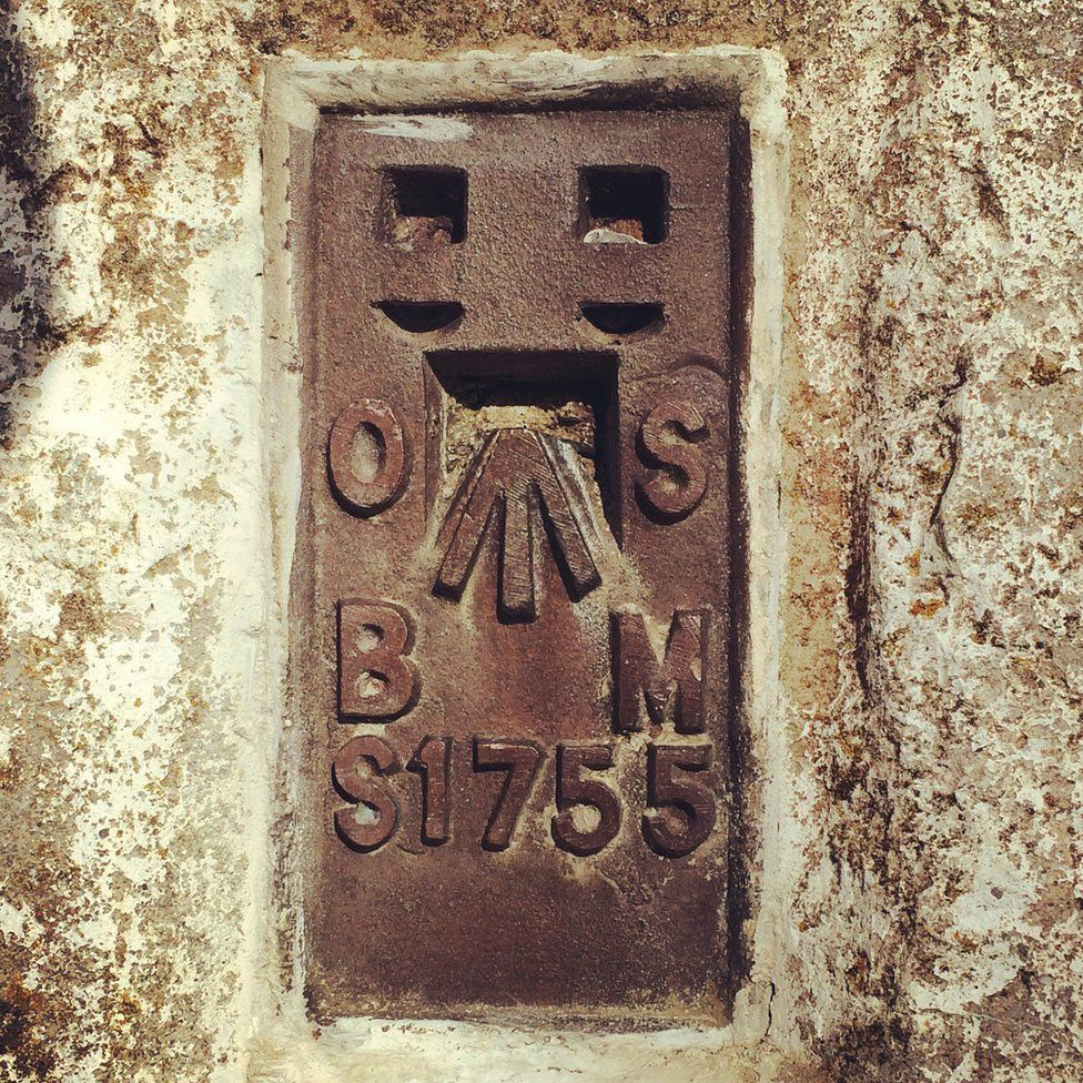
Trig points are the common name for “triangulation pillars”. These are concrete pillars although some are made from stone, which were used by the Ordnance Survey to accurately map the country.
They are generally located on the highest bit of ground in the area, so that there is a direct line of sight to at least two other trig points. By sitting a theodolite on the top of the pillar, accurate angles between pairs of nearby trig points could be measured. From this very accurate distances can be measured. This process is called “triangulation”.
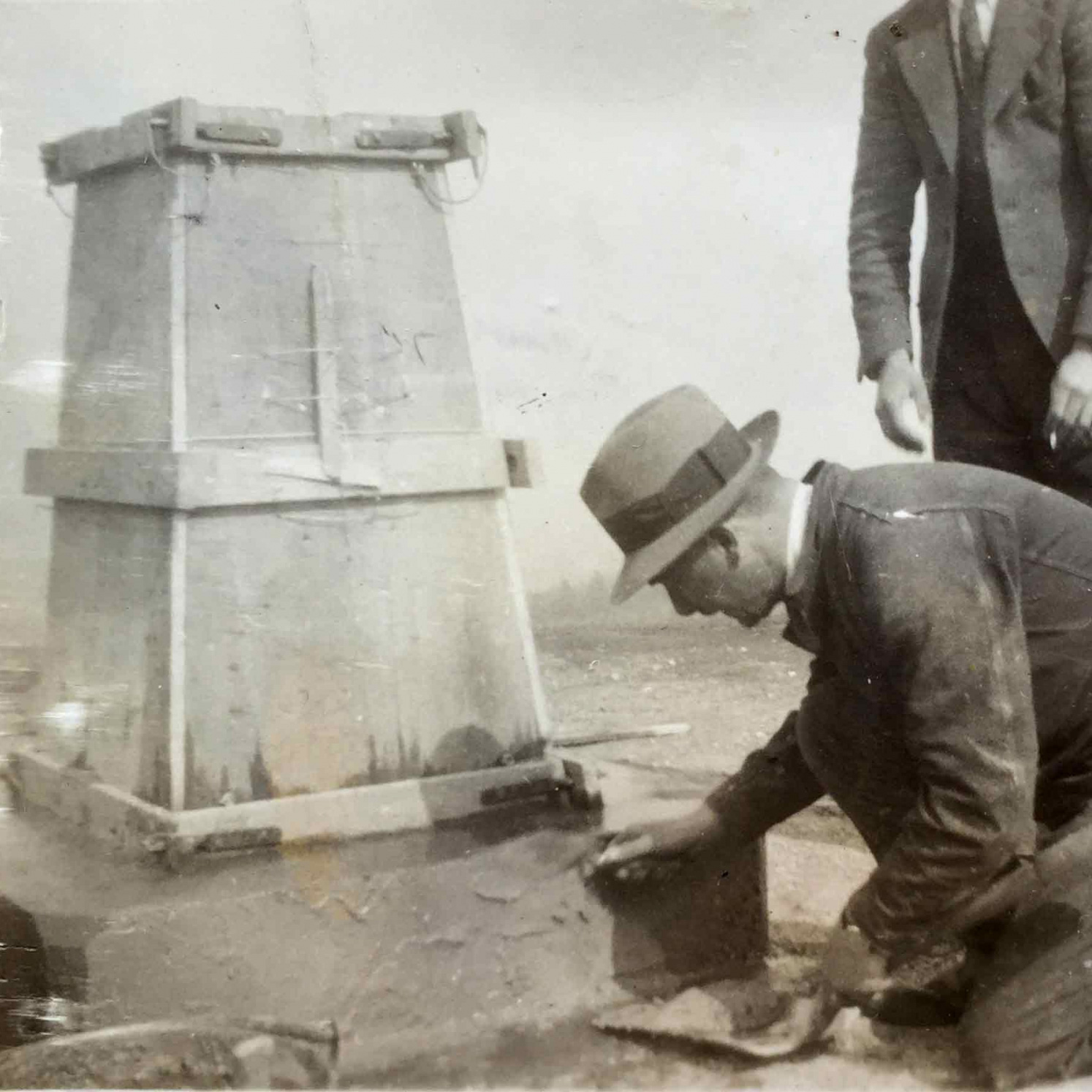
There are over 6500 trig points around the UK and work started installing them in 1936. All the materials including concrete and steel had to be carried to the summit or high point by the workmen to construct each trig point. Each one requiring a monumental effort!
Arguably we have the best maps in the world, this is because of the accurate mapping achieved through the use of trig points. Today trig points have become largely obsolete as a mapmaking tool due to the invention of GPS.
It’s competition time!
![]()
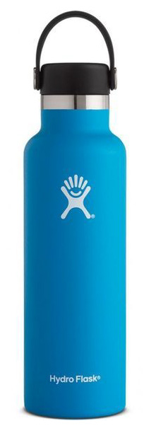
We are giving away a fabulous 21oz Hydro Flask! Send us your absolute best fun Trig point photo. It can feature anything else you like – just make sure a Trig point is included! Share a caption and location details too. We’ll decide which one we think is best, the winner will receive the Flask and their photo will feature in the next edition of Off The Beaten Track. Get your entries in via email by and we will contact the winner soon after. Good Luck!